Lab 01: Introduction to ArcGIS and Basic Map Operations
1 Objective
This lab introduces ArcGIS software and covers basic map operations, including working with shapefiles, creating new layers, and exporting maps.
2 Procedure
- Introduction to ArcGIS: Familiarized with the ArcGIS interface and explored essential tools and functions.
- Working with Shapefiles: Imported and managed shapefiles, with a focus on understanding attribute tables and layer properties.
- Creating New Layers: Developed new layers by extracting specific features and attributes.
- Exporting Maps: Exported maps in PDF format for documentation and presentation purposes.
3 Results
Below are the results generated during the lab:
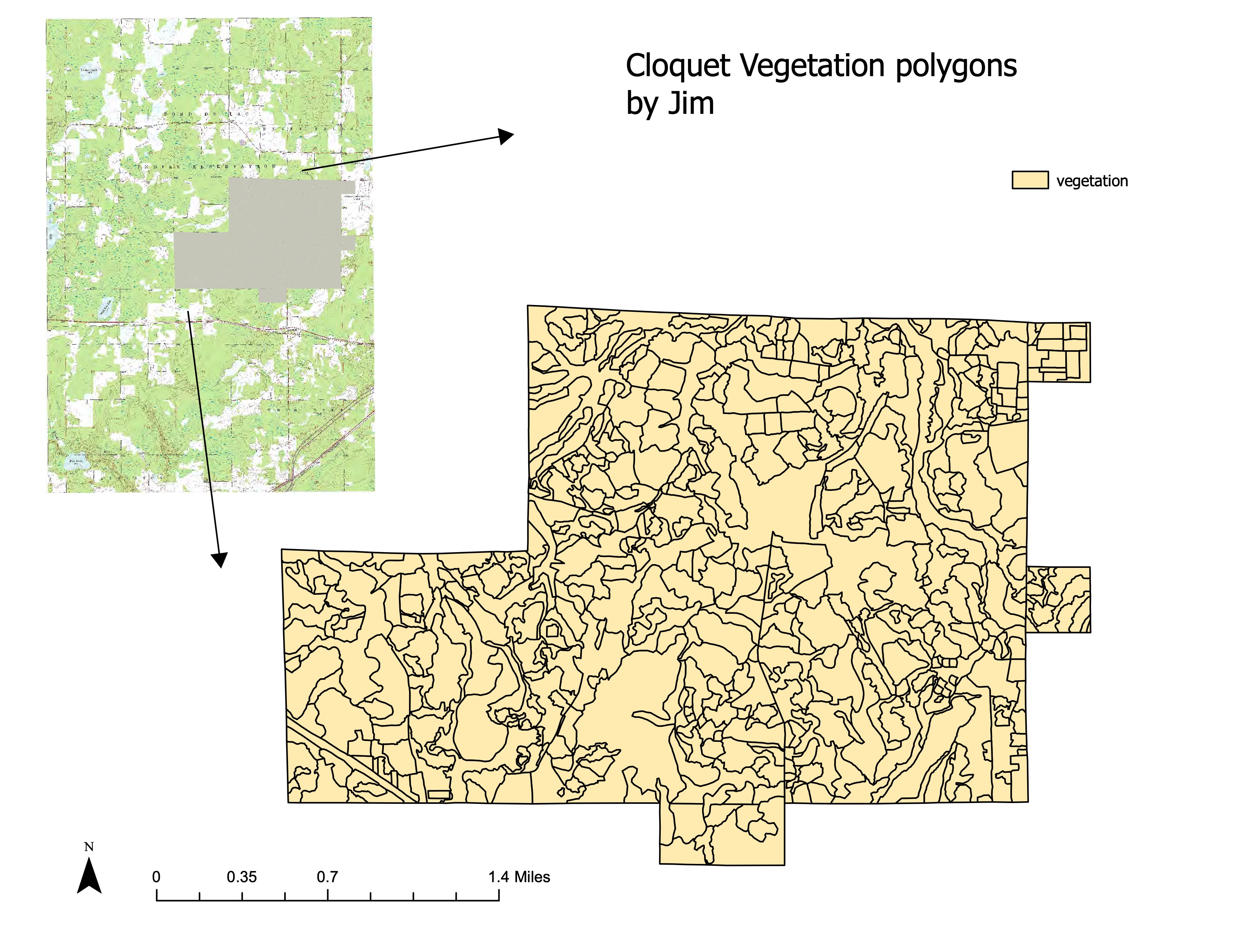
3.1 Cloquet Polygon Map
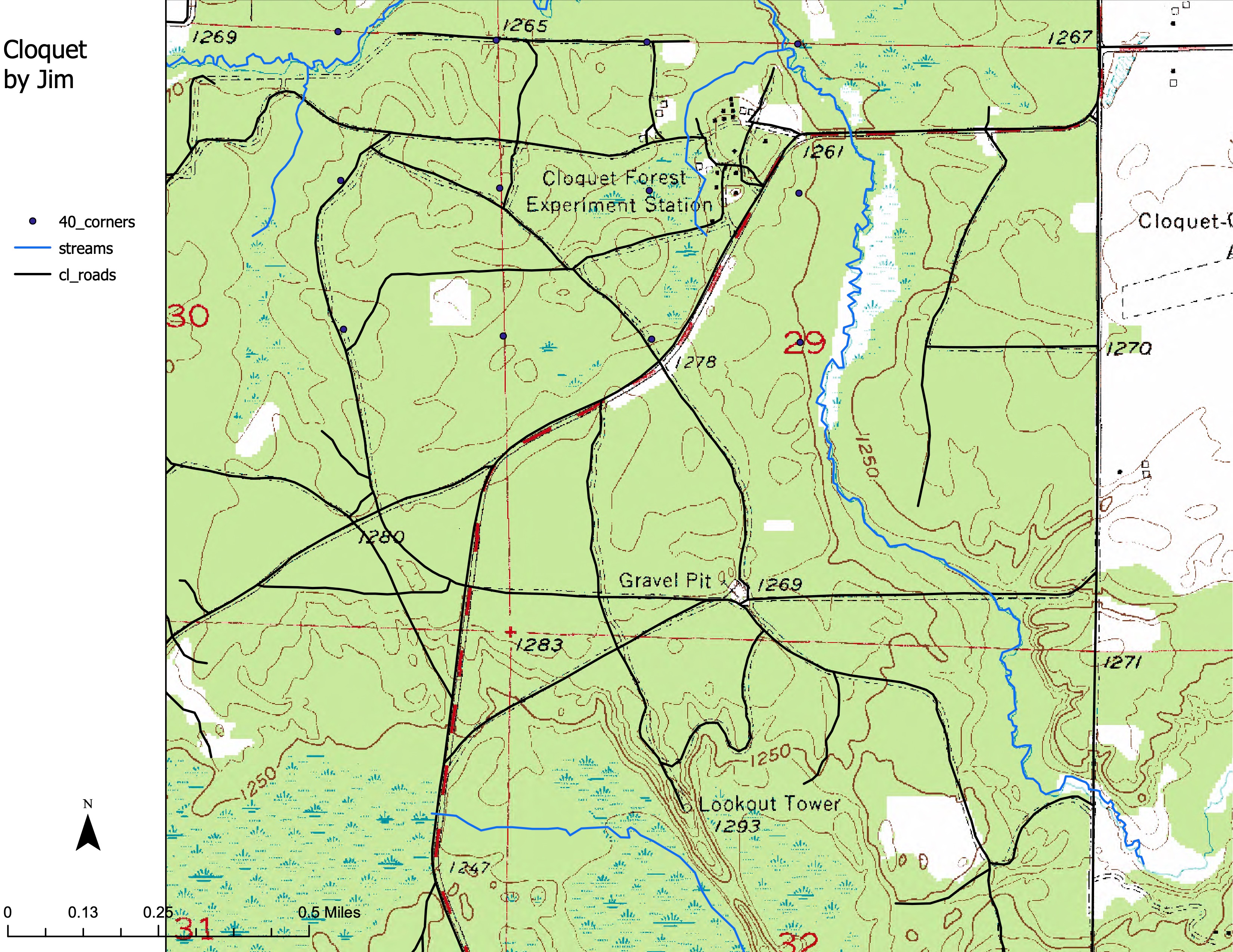
3.2 Cloquet Map
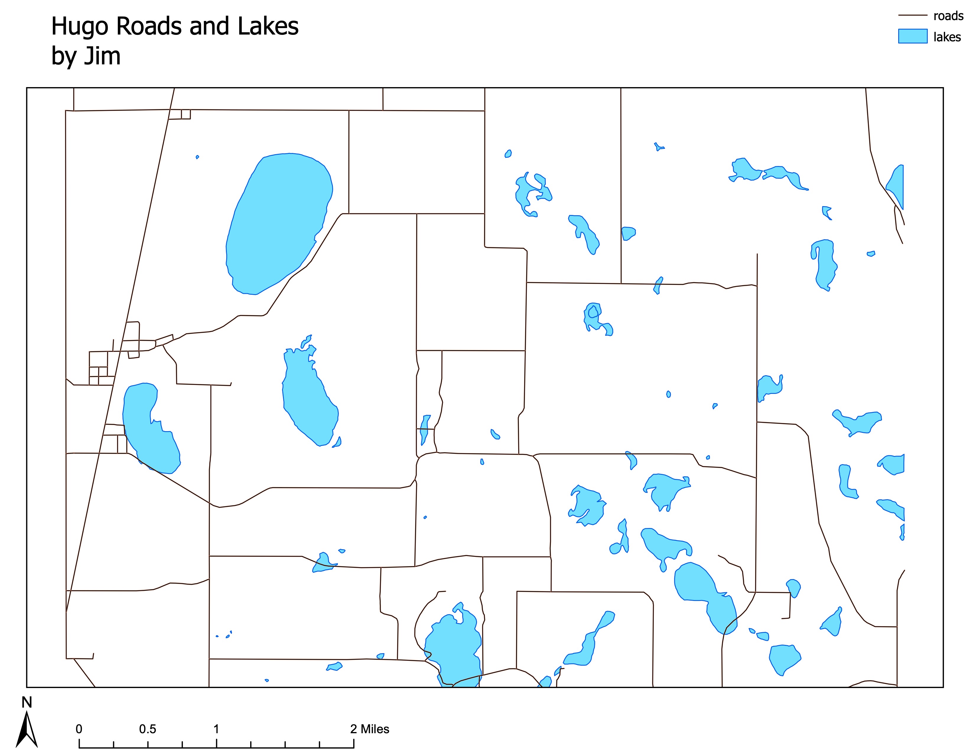
3.3 Hugomap
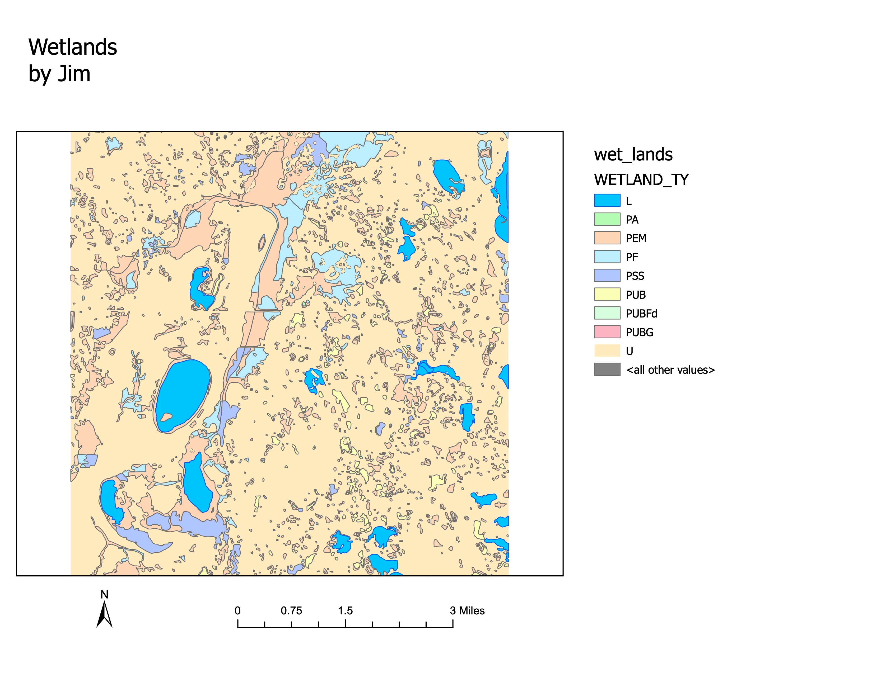
3.4 Wetlands Map
4 Conclusion
This lab provided an essential introduction to ArcGIS, offering practical experience in handling shapefiles and generating exportable map products. The skills developed in this lab are foundational for more advanced GIS operations.