Lab 02: Projections in ArcGIS
1 Introduction
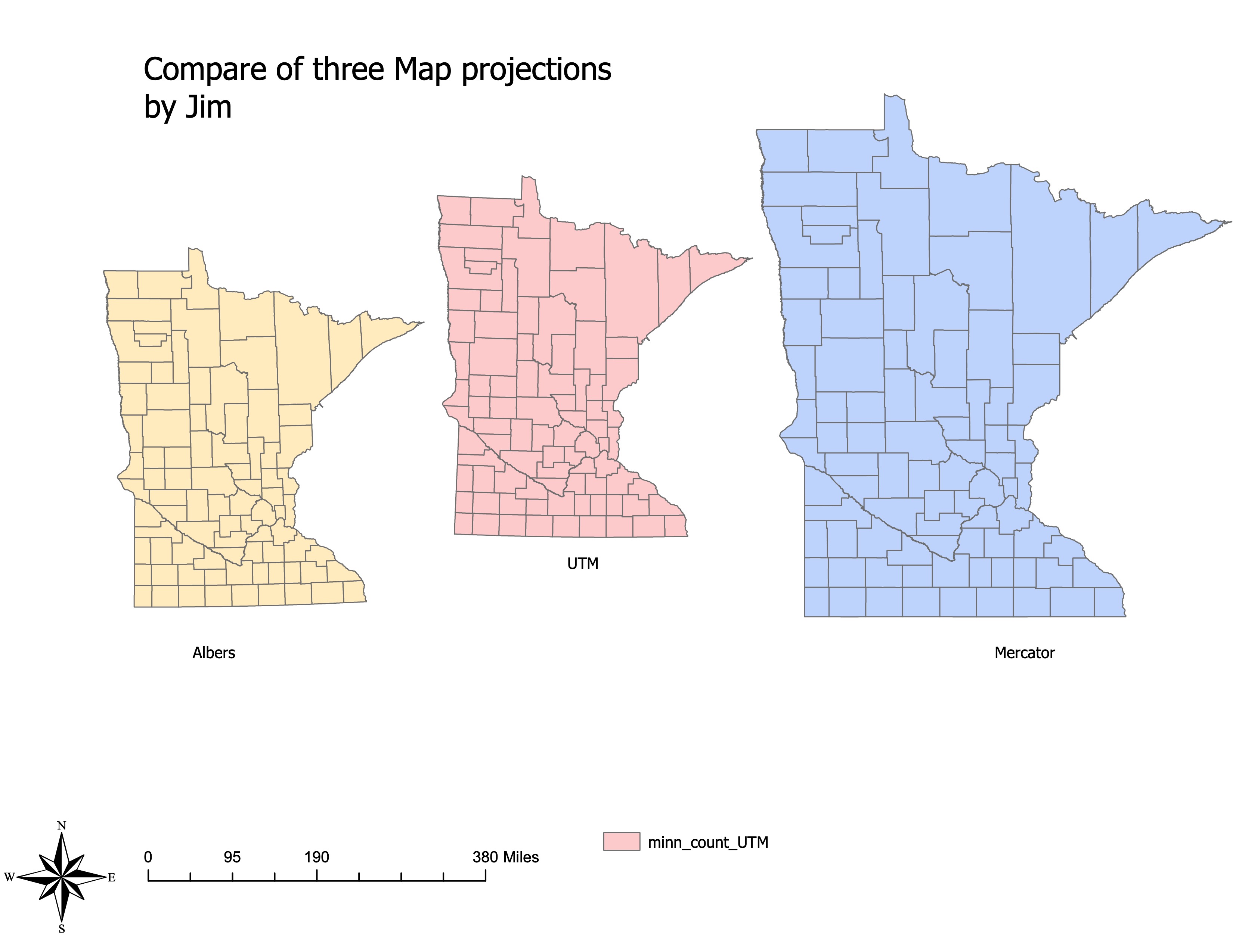
In this lab, the goal was to learn about basic methods for map projections in ArcGIS Pro. The task involved creating maps of Minnesota in three different statewide projections, as well as a map of reprojected Minnesota county boundaries with an inset global view. Additionally, the lab involved recording areas and coordinates for various projections and measurements.
2 Objectives
- Understand the differences in map projections and how they affect spatial data.
- Create maps using different projections: Albers, UTM, and Mercator.
- Learn how to use on-the-fly projections in ArcGIS Pro.
- Measure distances and coordinates in different projections.
3 Tasks
3.1 1. Create and Compare Maps
Three maps were created to compare different projections:
- Albers Projection
- UTM Projection
- Mercator Projection
These maps were then analyzed to understand how the projections affect the shape and measurements within the state of Minnesota.
3.2 2. Measure Distances
Using the measure tool in ArcGIS Pro, distances between specific points were measured in each of the projections. For example, the distance from the northeastern-most point of Minnesota to the southwestern-most point was calculated in kilometers for all three projections.
3.3 3. Record Coordinates
Coordinates for the northeast corner of Ramsey County were recorded in three projections: Albers, UTM, and Custom Mercator. This step highlighted how different projections can result in different coordinate values for the same geographic location.
4 Results
4.1 Distance Across Minnesota
- Albers Projection: 738.38 km
- UTM Zone 15N: 739.11 km
- Custom Mercator: 1059.32 km
4.2 Coordinates of Northeast Corner of Ramsey County
| Projection | X-Coordinate | Y-Coordinate |
|---|---|---|
| Albers (Meters) | 237015.86E | 2463303.93N |
| UTM Zone 15 (Meters) | 501167.40E | 4996740.42N |
| Custom Mercator | 10351044.86W | 5610717.55N |
4.3 Final Maps
4.3.1 Comparison of Three Map Projections
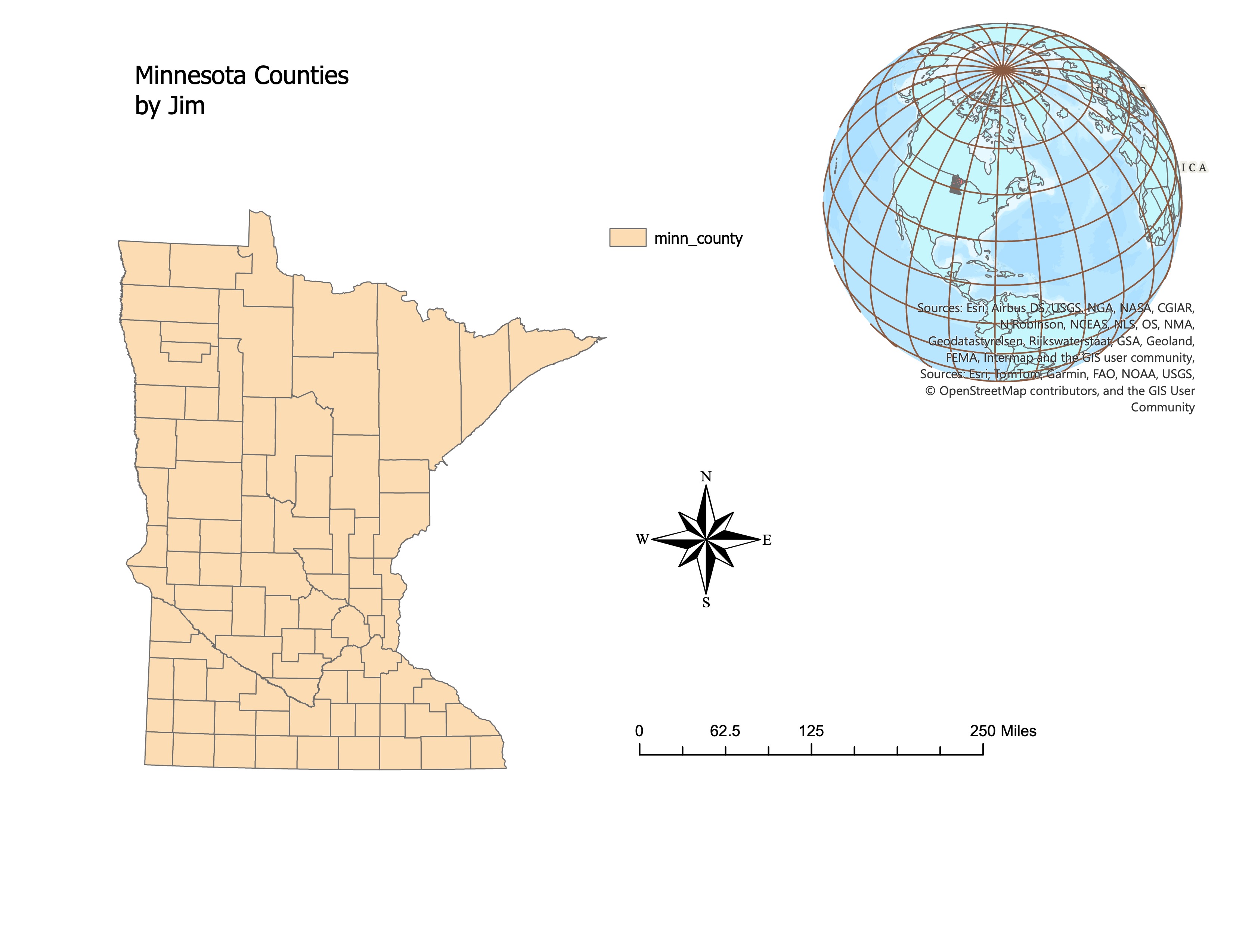
4.3.2 Minnesota Counties - UTM Projection
5 Conclusion
This lab provided valuable insights into the importance of map projections in GIS. By working with different projections, it became clear how much projections can impact spatial data, particularly in terms of shape and distance measurements. Understanding and correctly applying map projections is crucial for any spatial analysis in GIS.