Lab 07: Spatial Selection in ArcGIS
1 Introduction
This lab introduces spatial selection techniques in ArcGIS, focusing on proximity and adjacency. You will learn how to import and manipulate tables, perform joins, and create summary statistics. The lab also emphasizes the importance of repeating tasks to master GIS skills.
2 Objectives
- Learn to select features based on proximity and adjacency.
- Practice importing tables and performing joins.
- Create maps that summarize spatial data using tables.
3 Tasks
3.1 1. Select by Proximity and Adjacency
- Use spatial selection tools to find features based on their proximity to other features.
- Explore the relationship between different geographic features by selecting adjacent polygons.
3.2 2. Import Tables and Perform Joins
- Import an Excel table, summarize it, and then join it with a shapefile.
- Learn how to handle common issues like missing keys or multiple entries.
4 Results
4.1 US Corn Production by County

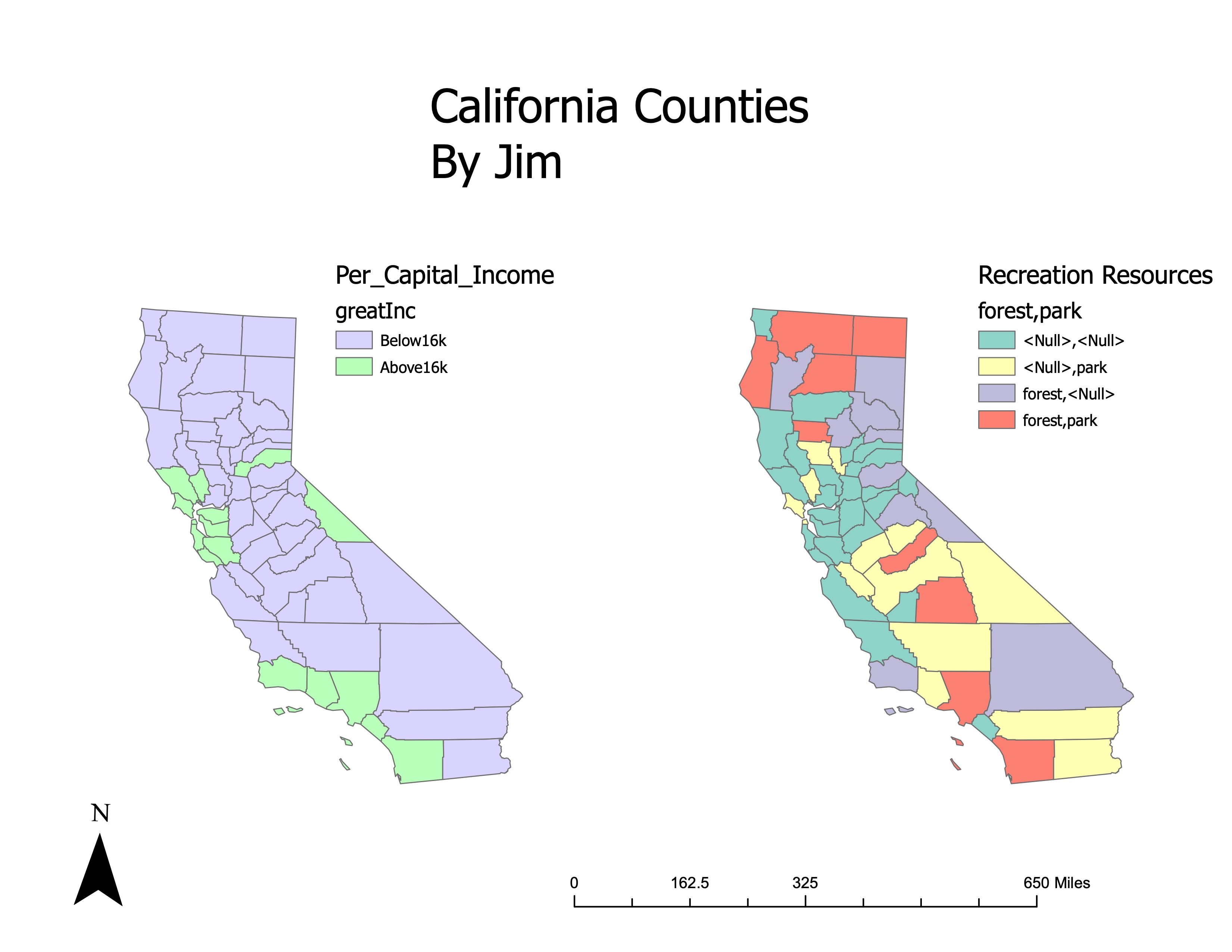
4.2 California County Income and Recreation Maps
5 Conclusion
This lab provided hands-on experience with spatial selection and table manipulation in ArcGIS. The tasks involved selecting features based on proximity and adjacency, importing and joining tables, and creating maps that summarize spatial data. By completing these exercises, you’ve gained a deeper understanding of spatial relationships and how to use ArcGIS to analyze them.