ArcGIS Labs Overview
1 Introduction
Please use sidebar to view labs.
Welcome to the ArcGIS Labs section of my project. This page serves as an overview and gateway to the various labs conducted using ArcGIS, a powerful tool for geographic information system (GIS) analysis. These labs are designed to enhance my skills in spatial data analysis, cartography, and remote sensing.
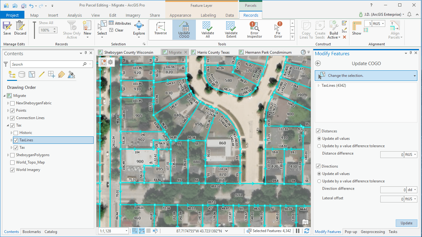
1.1 ArcGIS pro Layout Sample from Esri
2 Objectives
The primary objectives of these labs are:
- To gain hands-on experience with ArcGIS software.
- To develop proficiency in various GIS analysis techniques, including spatial analysis, raster processing, and remote sensing.
- To apply these techniques to real-world scenarios, such as land cover analysis, population studies, and environmental monitoring.
3 Lab Summaries
3.1 Lab 01: Introduction to ArcGIS
An introductory lab focusing on getting familiar with the ArcGIS interface and basic functions. Topics include map navigation, layer management, and simple spatial queries.
3.2 Lab 02: Projections in ArcGIS
This lab covers the importance of map projections and how to work with different coordinate systems in ArcGIS. You will learn to project spatial data accurately and analyze how projections impact spatial analysis.
3.3 Lab 03: Data Entry and Editing
This lab teaches how to digitize spatial features, edit attributes, and manage spatial data effectively. It’s a crucial skill for maintaining accurate and up-to-date GIS datasets.
3.4 Lab 04: Digitizing and Topology
Explore advanced digitizing techniques and learn about the role of topology in maintaining spatial data integrity. The lab includes practical exercises in creating and correcting topological errors.
3.5 Lab 05: Working with Digital Data and Tables
Learn how to import, manage, and analyze tabular data within ArcGIS. This lab focuses on linking spatial data with attribute tables and performing table-based queries.
3.6 Lab 06: Advanced Table Operations
This lab delves into more complex table operations, including joins, relates, and summarization techniques, which are essential for in-depth spatial analysis.
3.7 Lab 07: Spatial Selection and Queries
Learn to perform spatial queries and selections based on various criteria. This lab demonstrates how to extract meaningful information from large spatial datasets.
3.8 Lab 08: Buffering and Overlay Analysis
This lab covers buffering and overlay techniques to analyze spatial relationships. It’s commonly used in environmental impact studies and site suitability analyses.
3.9 Lab 09: Raster Data Analysis
Explore raster data processing techniques, including classification, reclassification, and raster algebra. The lab emphasizes the use of raster data for land cover and elevation analysis.
3.10 Lab 10: Remote Sensing Data
This lab focuses on remote sensing applications, including the use of Landsat imagery for land cover change detection and environmental monitoring.
4 Conclusion
These labs represent a comprehensive journey through the functionalities of ArcGIS, from basic operations to advanced spatial analysis techniques. Each lab builds on the previous ones, progressively expanding the range of skills and knowledge in GIS. Feel free to explore each lab in detail to see the results and methodologies used.
5 Next Steps
As I continue to learn and apply GIS techniques, I will be adding more labs and projects to this section. Stay tuned for updates!